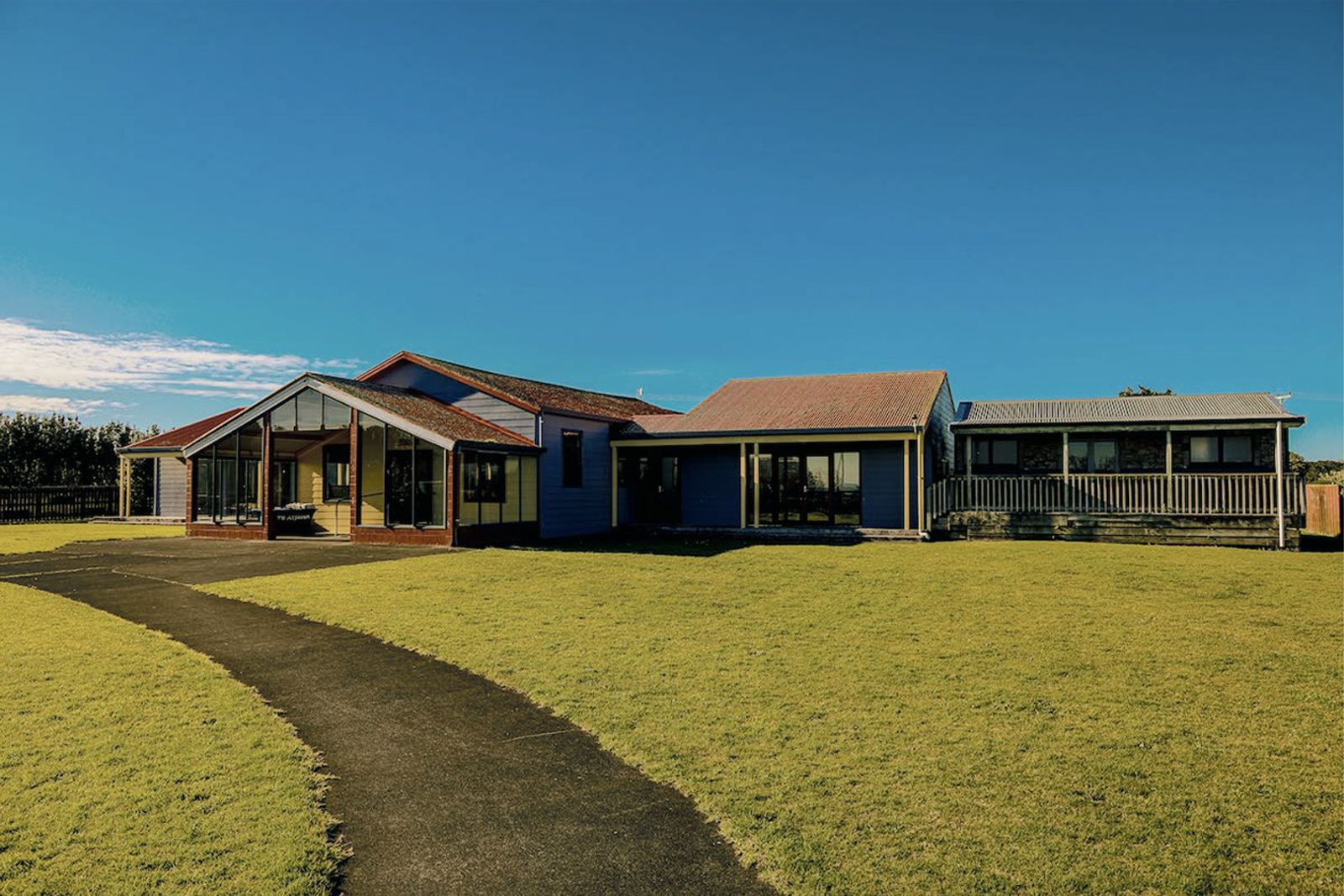
Our pā
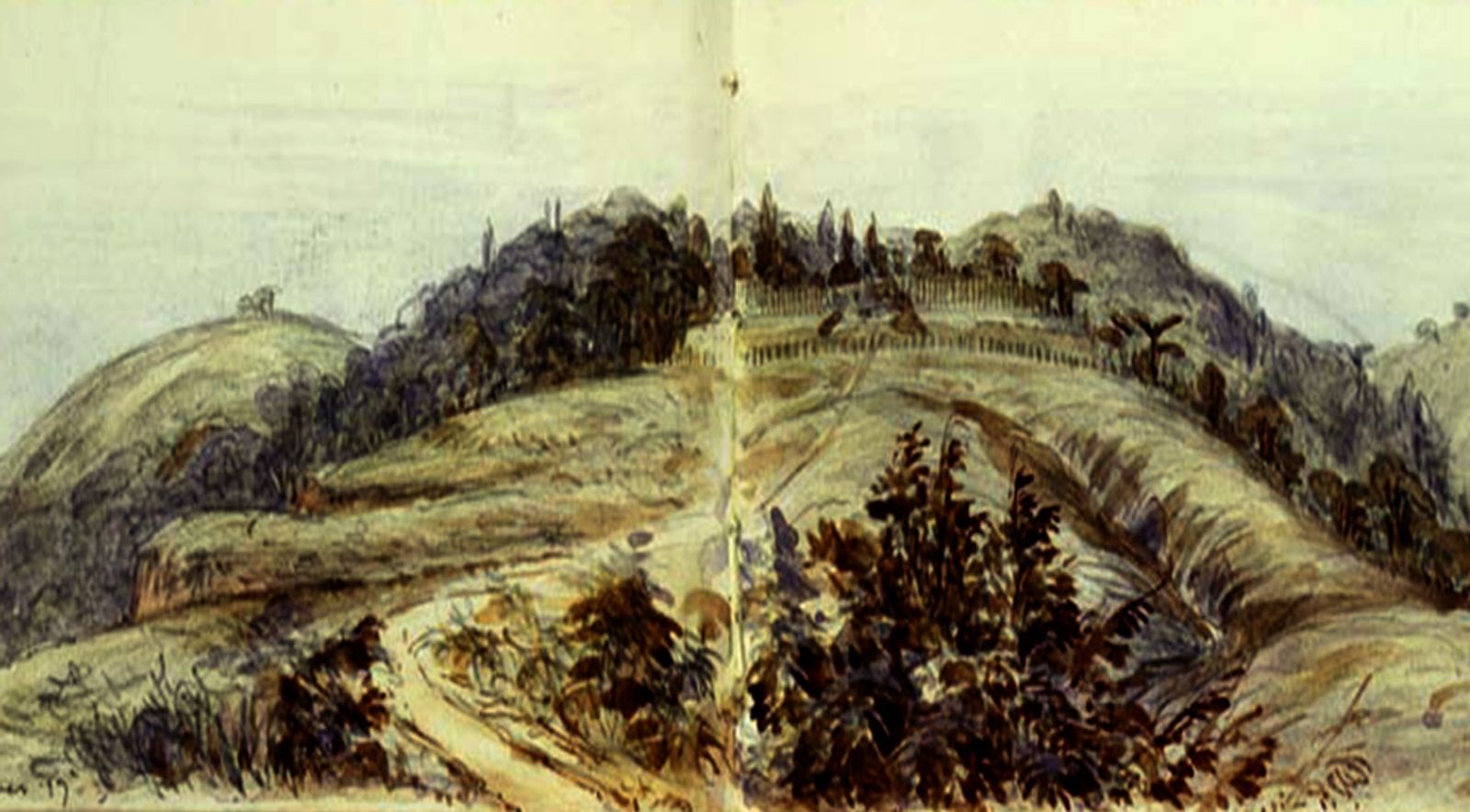
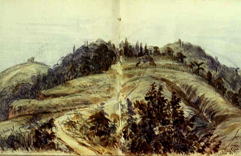
From the 1700s, our people lived at Pukerangiora Pā – a fortified settlement situated high on a corner of the Waitara River.
Pukerangiora Pā
Pukerangiora Pā is a place of great significance. Once a thriving pā site in the 1700s, later a place of refuge, and a battleground during both the Musket Wars and the Taranaki Wars. Its history spans centuries, and the events that took place here have helped shape the story of Aotearoa. Pukerangiora Pā was a large pā, covering over 16 acres. It extended across today’s Waitara Road to what are now farmlands. The pā was part of a large estate for food production, with much industry and activity centred around the rich resources of the water and land. There were many smaller satellite kāinga (villages) outside the main pā tūwatawata (fortified settlement).
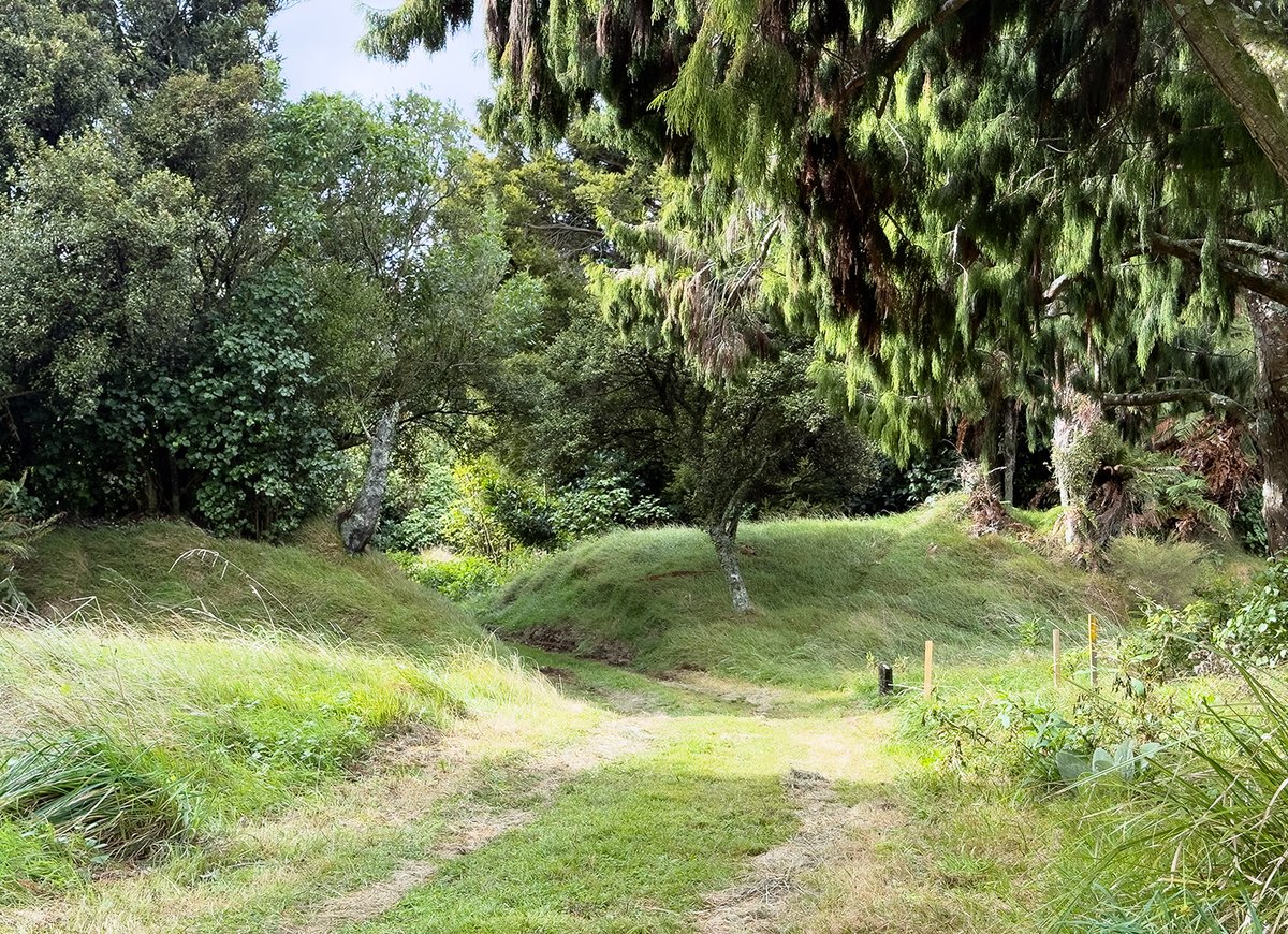
It required significant resources for our people of Pukerangiora Hapū to build, maintain and defend this pā.
We know from the stories of the tūpuna (ancestors) that this large fortified pā was a place many different hapū (kin groups) sought refuge within during times of strife. This suggests it was likely a collaborative effort to build the extensive fortifications.
After the cessation of Taranaki Wars hostilities, the Crown built Te Arei Road/Waitara Road on the land that was confiscated from Pukerangiora Hapū as punishment for being ‘rebels’ – fighting against the invading British to defend their lands.
The road runs through the middle of Pukerangiora Pā, splitting it in two. This prevented Pukerangiora Hapū from ever reoccupying the site.
Today, we return to this wāhi tapu to remember, to reconnect, and to share our story.
Plan Your Visit
Explore the many experiences on offer at Pukerangiora Pā. Learn what to expect on site, how to book a tour, and how to make the most of your visit.
Learn more
Gallery